Yup, Another Fall Photo Tour on Film!
This time it was with my Wista 4x5 field camera. I stayed around my local area, not wandering more than a few miles from my home this year as apposed to traveling to northern Wisconsin.
I purchased 2 boxes (20 sheets) of Kodak Ektar 100, and at $65 per box of 10. This was the first time I ran color negative film through any of my 4x5 cameras because I normal shoot black and white to keep costs way down. I shot a total of 9 sheets of film during my outing.
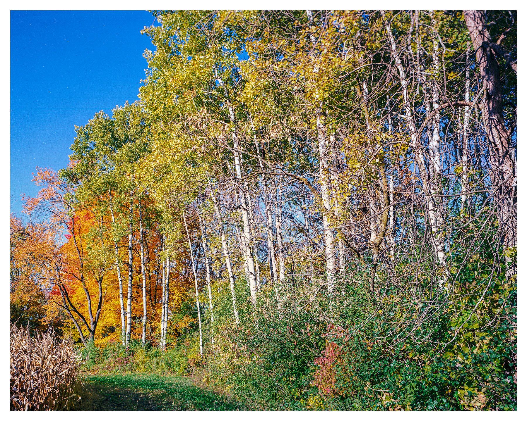
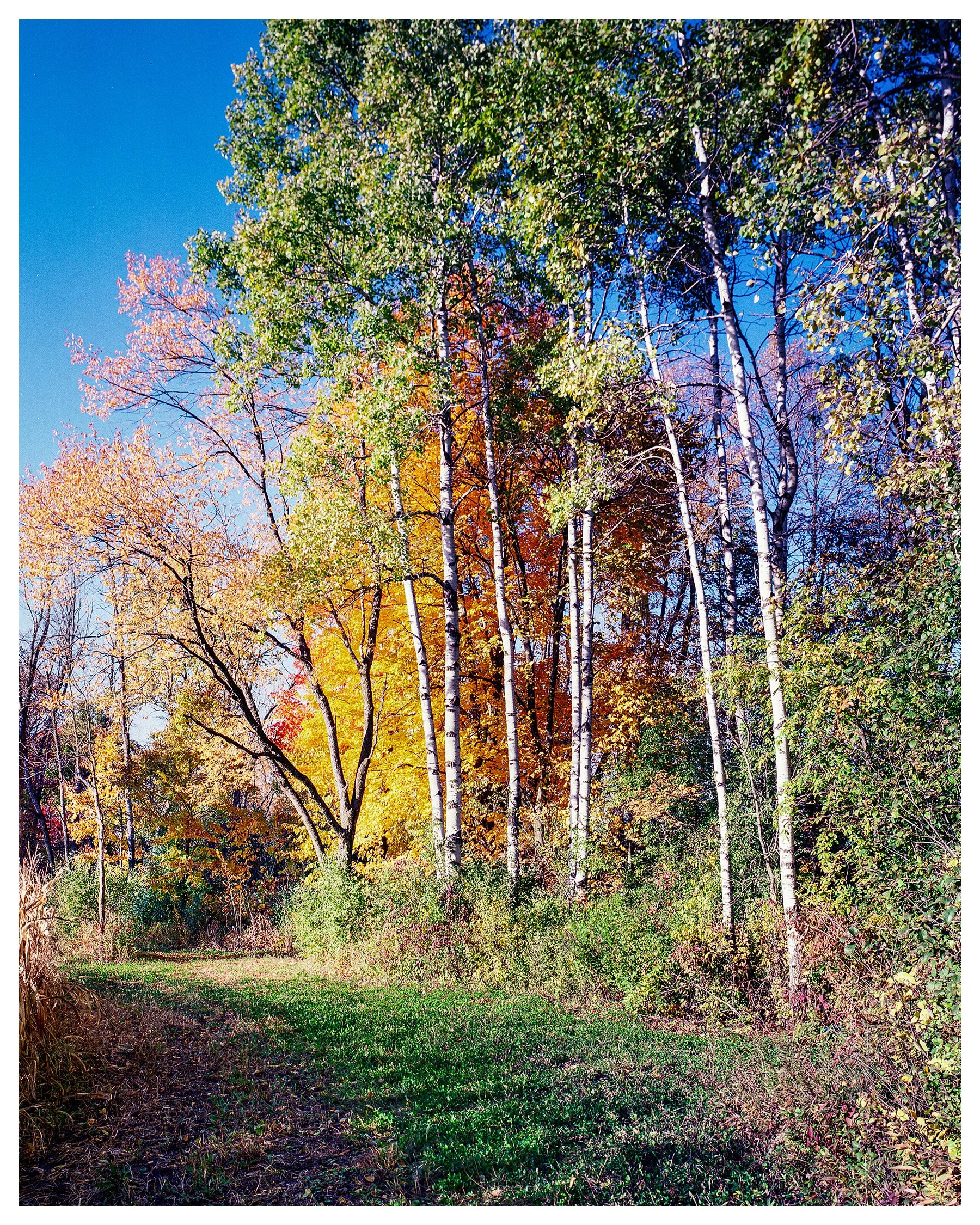
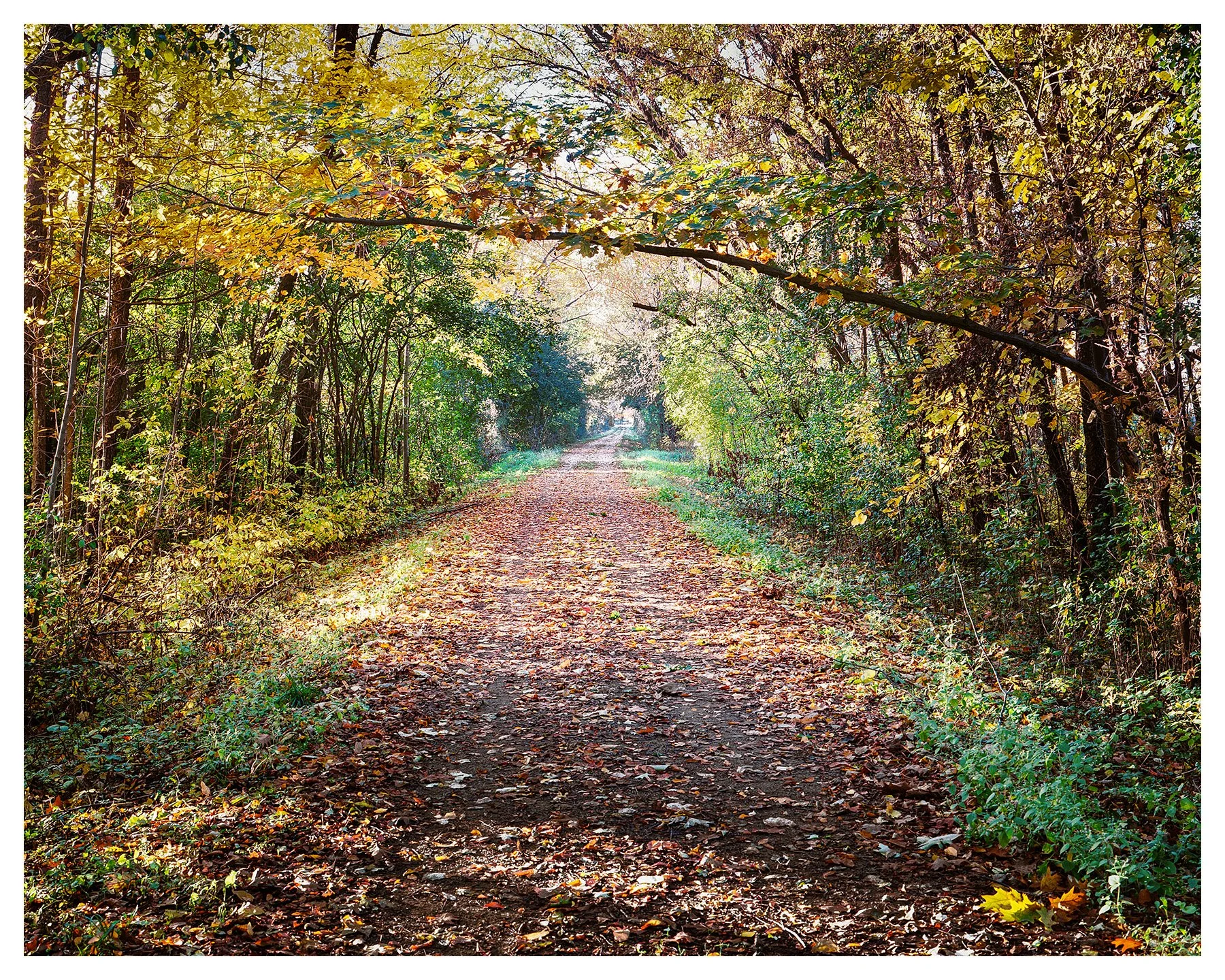
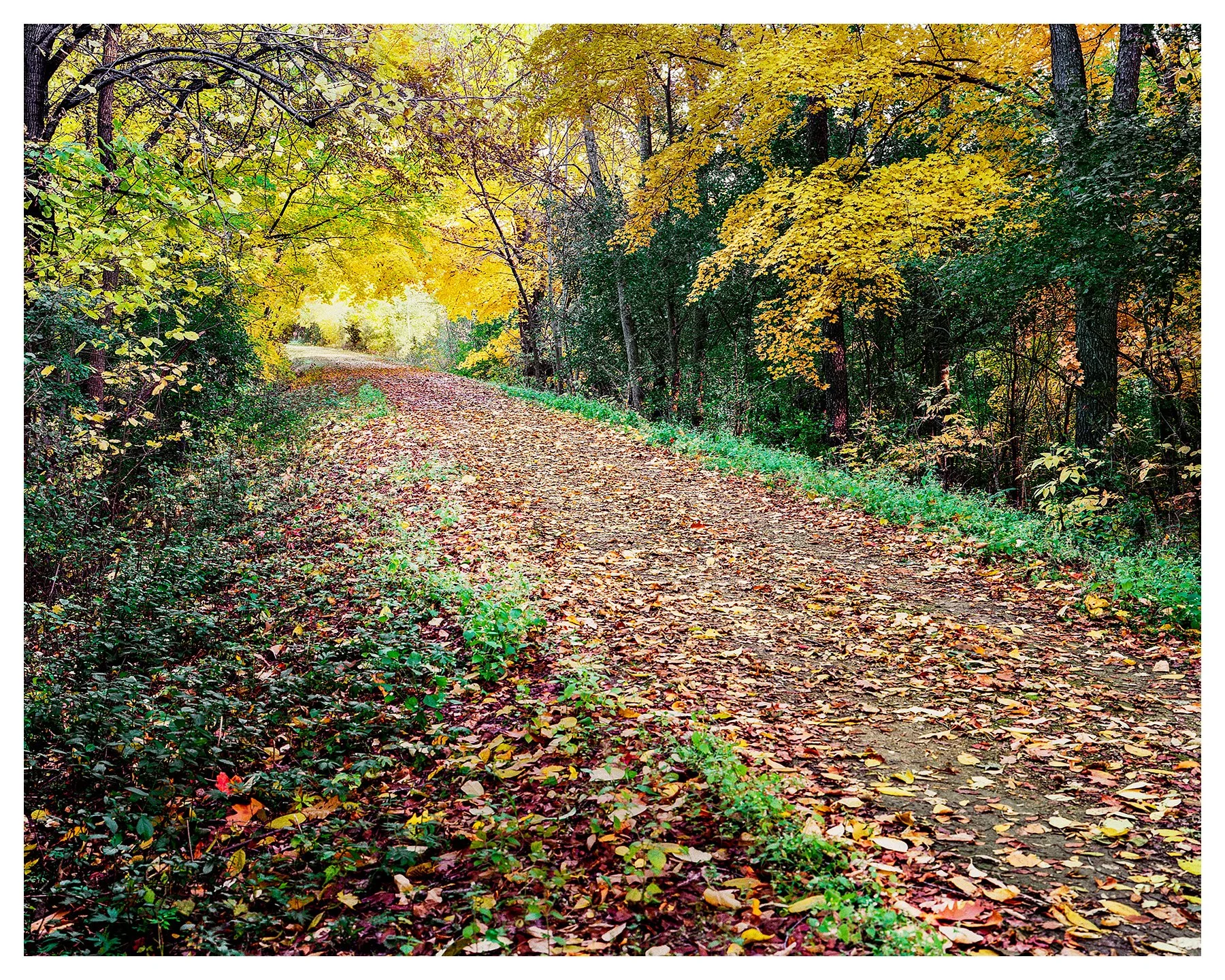
The trip took me to the Glacial Drumlin just northeast of Jefferson, WI. I’ve never walked this trail in all of the years I’ve lived in Wisconsin but I’m glad I did. I will be out again with my digital camera at some point on this trail again.
I don’t develop color film, at least not yet. So I sent out my film to The Darkroom located in San Clemente, CA. 4x5 C-41 processing is only $6.00 per sheet (plus S&H). I received my processed film back in a week.
Scanning is done by myself on a flatbed scanner, which is an Epson V600. Since it doesn’t really handle 4x5 sheet film, I have to scan each one twice and stich it together in Photoshop. It does a pretty good job.
The images are NOT going to win any awards, but it was more of a “See what I can do…” event. I say that every shot I do on 4x5, either be color or black and white, is considered “practice”.
Total cost PER SHEET with processing comes to $15.00….every time you click to shutter! You better know how to load the film in the dark, remove film in the dark, load your camera and properly expose your film. Otherwise, your mistakes are quite expensive. I have 5 more sheets of film to work on it and when I complete those I’ll post them here as well.
This year for fall colors….Great Smokey Mountains in Tennessee would be awesome.
“Running between Wisconsin's two largest urban areas, this trail stretches for 52 miles through farmlands and glacial topography. The trail travels through 10 small towns from Cottage Grove to Waukesha. The trail is on an abandoned rail corridor, except for a 1.5-mile section northeast of Jefferson, between State Highway 26 and County Highway Y, which uses public roads as the trail route”.